Introduction
Location
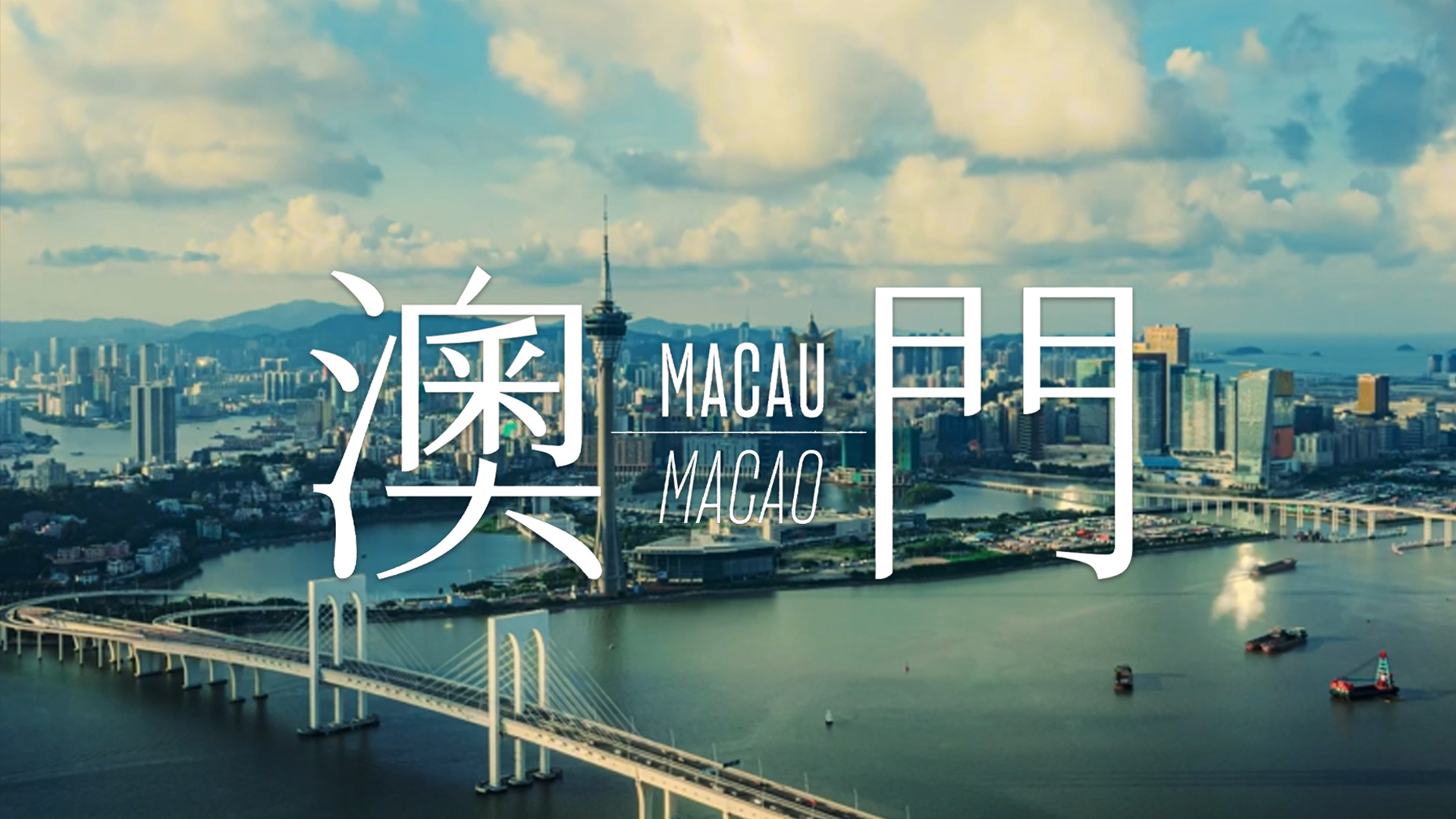
Macao Special Administrative Region is located along the southeast coast of China and Zhujiang (Pearl River) on the west. Macau is145 kilometres from Guangzhou and 60 kilometres southwest of Hong Kong. It borders the Zhuhai Special Economic Zone and Lotus Bridge. Macao is eight hours ahead of GMT.
Land Area
Macao consists of the Macao peninsula and the two islands of Taipa and Coloane. Due to land reclamation along its coastline; Macao has grown in land area from 2.78 km2 in 1840 to 33.3  km2 today.
Climate
Macau has a humid subtropical climate. Summer is hot with plenty of short heavy showers, autumn is dry and sunny, and winter is relatively cold. Seasonal climate is greatly influenced by the monsoons and the climate is warm and humid with a fairly wide variation in temperature over the year. From June to September, the temperature can rise to over 30ºC while it can drop to less than 10ºC from November to December. The average annual temperature is 22.8ºC. July is the hottest month and the coldest month is January. Macao’s weather is also influenced by tropical cyclones from the North Pacific Ocean during the typhoon season between May and September.
Population and Human Resource
The population of Macao was estimated to be 686,400  . Population density is over 20,745/km2, and the northern part of the peninsula is one of the most densely populated areas in the world.
Language
Chinese and Portuguese are official languages, Chinese and English is widely used in businesses sector, Cantonese is widely spoken, Mandarin and Hokkien are also spoken.
For further information, please click here.


